Hiking routes

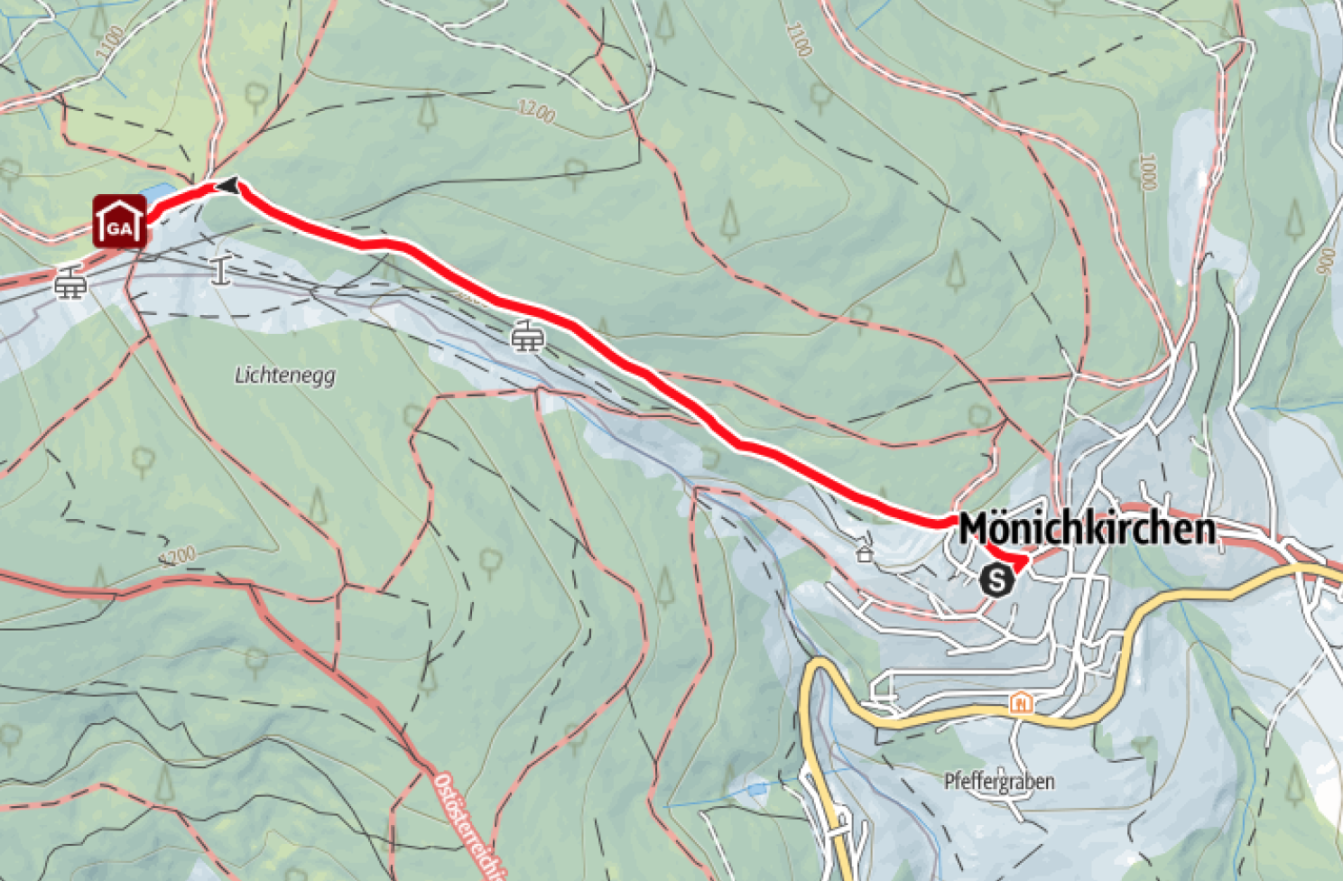
Hike to the Mönichkirchen Schwaig (from Mönichkirchen)
Hiking tour from the Mönichkirchen valley station to the Mönichkirchner Schwaig mountain inn
Tour data
Difficulty: easy
Distance: 2.33 km
Ascent: 200 m
Descent: 6 m
Duration: 0:50 h
Lowest point: 979 m
Highest point: 1,179 m
DETAILS

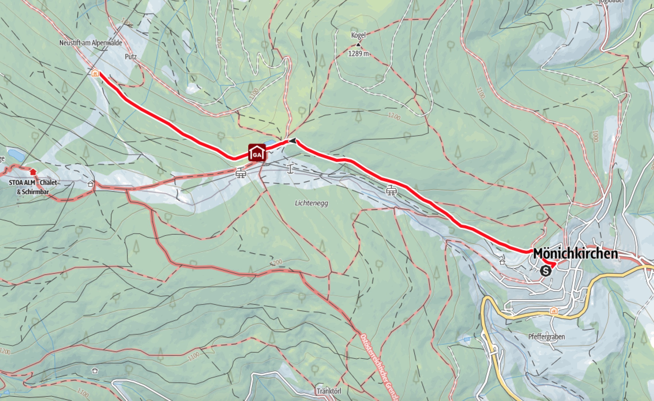
Hike to the Alpengasthof Fernblick (from Mönichkirchen)
Hiking tour from the valley station Sonnenlift Mönichkirchen to Alpengasthof Fernblick
Tour data
Difficulty: easy
Distance: 3.70 km
Ascent: 217 m
Descent: 68 m
Duration: 1:15 h
Lowest point: 979 m
Highest point: 1,196 m
DETAILS

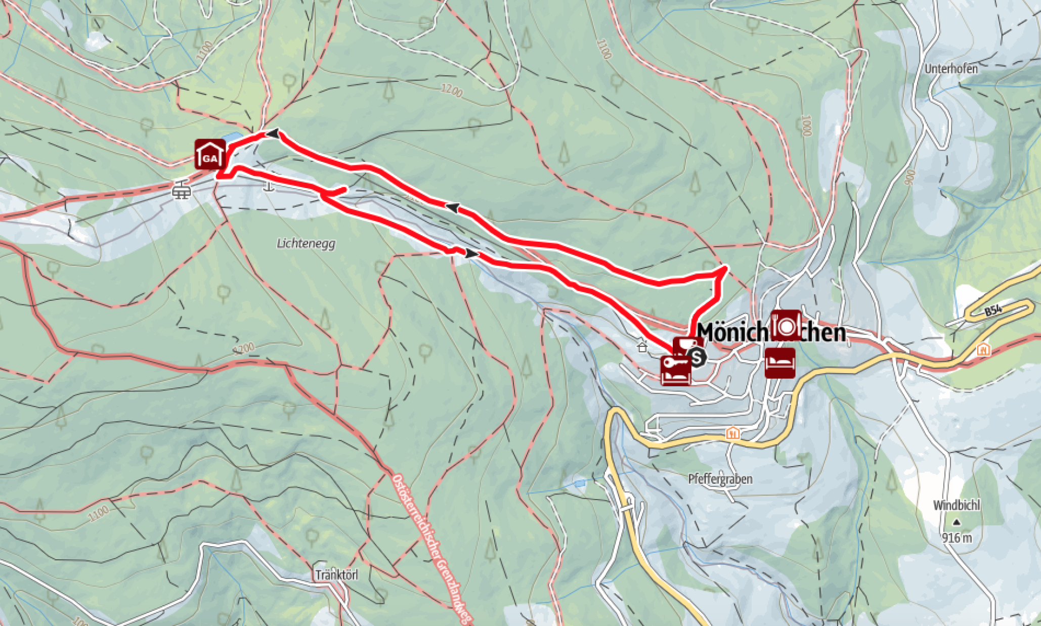
Hike to the Hallerhaus (from Mönichkirchen)
Winter hike from the Sonnenlift Mönichkirchen valley station to Hallerhaus
Tour data
Difficulty: easy
Distance: 3.62 km
Ascent: 376 m
Descent: 6 m
Duration: 1:25 h
Lowest point: 979 m
Highest point: 1,355 m
DETAILS

Water of life themed trail
Themed trail starting from the water temple / water park or the parking lot of the Sonnenbahn
Tour data
Difficulty: easy
Distance: 5.36 km
Ascent: 236 m
Descent: 199 m
Duration: 2:00 h
Lowest point: 992 m
Highest point: 1,186 m
DETAILS

Three huts tour of the Schwaigen
Hiking tour from Steyersberger Schwaig to Steyersberger Schwaig
Tour data
Difficulty: easy
Distance: 8.09 km
Ascent: 374 m
Descent: 372 m
Duration: 2:34 h
Lowest point: 1,357 m
Highest point: 1,595 m
DETAILS
